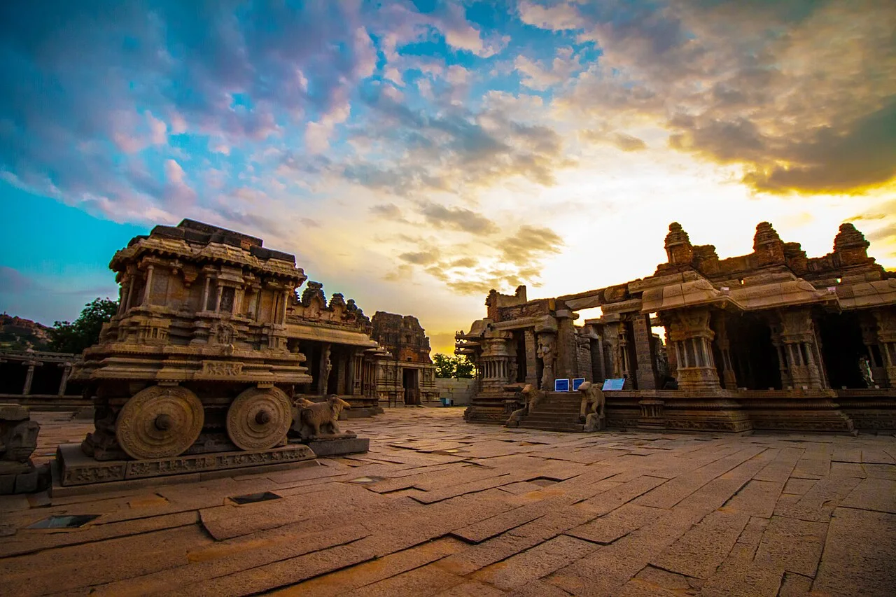
Khajuraho
A Chandella-period temple landscape containing Hindu and Jain monuments.
Introductory source-based synthesis. External references were consulted for the stated scope; specialist peer review is not claimed.
- Local name
- खजुराहो
- State · District
- Madhya Pradesh · Chhatarpur
- Approximate coordinates
- 24.852° N, 79.921° E
- Tradition · Classification
- Multiple traditions · Heritage landscape
Historical setting
UNESCO associates the Khajuraho monuments with the Chandella dynasty and describes surviving temples in three groups. The collection includes Hindu and Jain buildings. A single image or a selection of famous sculptures cannot stand for the full religious and architectural range of the site.
Reading the place
Study sculpture together with the building it inhabits. Notice the relation between a shrine’s plan, vertical form and sculptural programme. Identifying an image requires more than isolating a motif from a photograph; the surrounding sequence can change the question a reader should ask.
Scope of this record
The marker uses the reference point of the protected western temple area, one component of a larger property. The historical outline follows UNESCO. Individual dedications, inscriptions, ritual histories and disputed interpretations are topics for separate source-linked records rather than assumptions attached to every structure.
Living significance
Study sculpture together with the building it inhabits. Notice the relation between a shrine’s plan, vertical form and sculptural programme. Identifying an image requires more than isolating a motif from a photograph; the surrounding sequence can change the question a reader should ask.
Texts & traditions, in context
Associated source texts and local accounts will be added with precise references and attribution.
Sources & further reading
- 01UNESCO World Heritage Centre · Khajurahoinstitutional reference
Reference consulted for the introductory account; follow the source for its full context.
Consulted 2026-11-07 - 02UNESCO geographical data · Khajurahoinstitutional reference
UNESCO component 240-001, Protected Temple Area, Western Group: N24 51 9.00 E79 55 15.00; marker represents the western group.
Consulted 2026-11-07