
Mahabalipuram
Pallava monuments on the Coromandel coast, bringing several architectural forms into one setting.
Introductory source-based synthesis. External references were consulted for the stated scope; specialist peer review is not claimed.
- Local name
- மாமல்லபுரம்
- State · District
- Tamil Nadu · Chengalpattu
- Approximate coordinates
- 12.617° N, 80.199° E
- Tradition · Classification
- Multiple traditions · Heritage landscape
Historical setting
UNESCO associates the Mahabalipuram monuments with Pallava patronage in the seventh and eighth centuries. The property includes rock-cut sanctuaries, rathas, open-air reliefs and the Shore Temple. These are different kinds of monuments and should not all be described as interchangeable examples of one form.
Reading the place
Compare how rock becomes a cave interior, a freestanding carved form or a sculptural surface. The relation to the coastal landscape also matters. A careful visual record names the particular monument and viewpoint rather than using “Mahabalipuram” as though it were a single building.
Scope of this record
This introduction follows the World Heritage record. The map point represents the main complex; other components have separate reference locations. Iconographic interpretations of major reliefs, precise construction sequences and claims about patronage beyond the source’s account require further investigation.
Living significance
Compare how rock becomes a cave interior, a freestanding carved form or a sculptural surface. The relation to the coastal landscape also matters. A careful visual record names the particular monument and viewpoint rather than using “Mahabalipuram” as though it were a single building.
Texts & traditions, in context
Associated source texts and local accounts will be added with precise references and attribution.
Sources & further reading
- 01UNESCO World Heritage Centre · Mahabalipuraminstitutional reference
Reference consulted for the introductory account; follow the source for its full context.
Consulted 2026-11-07 - 02UNESCO geographical data · Mahabalipuraminstitutional reference
UNESCO component 249-001, main complex: N12 37 3.00 E80 11 56.00; converted to decimal longitude/latitude.
Consulted 2026-11-07
Continue the inquiry
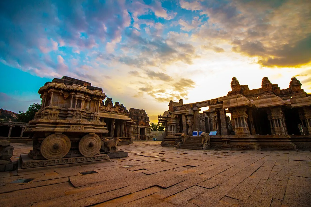
Hampi
A temple and urban landscape associated with the Vijayanagara capital on the Tungabhadra.
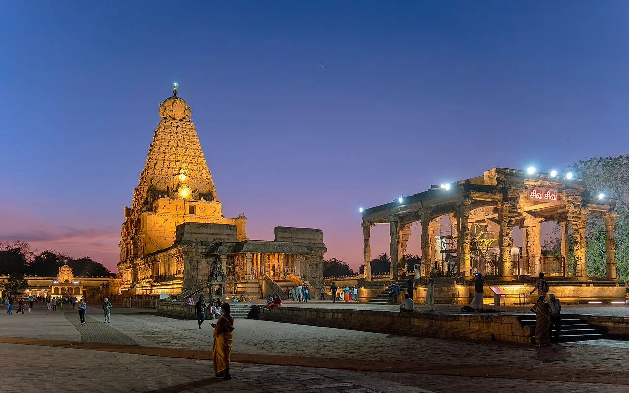
Bṛhadīśvara Temple
The Thanjavur temple is a component of the Great Living Chola Temples World Heritage property.
Reading a temple as a living archive
A framework for observing a place while keeping evidence, memory and interpretation distinct.