
Pattadakal
A Chalukya-period temple group with forms associated with northern and southern Indian architecture.
Introductory source-based synthesis. External references were consulted for the stated scope; specialist peer review is not claimed.
- Local name
- ಪಟ್ಟದಕಲ್ಲು
- State · District
- Karnataka · Bagalkot
- Approximate coordinates
- 15.950° N, 75.816° E
- Tradition · Classification
- Multiple traditions · Heritage landscape
Historical setting
UNESCO describes Pattadakal as a seventh- and eighth-century Chalukya site whose monuments bring different architectural forms into relation. The property includes Hindu temples and a Jain sanctuary. The Virupaksha temple is identified in the institutional account with Queen Lokamahadevi’s patronage.
Reading the place
This landscape supports close comparison of plans, towers and sculptural settings. Rather than assuming one form replaced another, ask which features a particular building combines. Architectural comparison is strongest when it specifies the monument and the features actually observed.
Scope of this record
The atlas point represents the temple-area component. Papanatha and the Jain temple have separate UNESCO coordinates. This introduction does not identify every monument with one deity, text or philosophical school. Further study should use inscriptions and monument-specific scholarship to refine chronology and patronage.
Living significance
This landscape supports close comparison of plans, towers and sculptural settings. Rather than assuming one form replaced another, ask which features a particular building combines. Architectural comparison is strongest when it specifies the monument and the features actually observed.
Texts & traditions, in context
Associated source texts and local accounts will be added with precise references and attribution.
Sources & further reading
- 01UNESCO World Heritage Centre · Pattadakalinstitutional reference
Reference consulted for the introductory account; follow the source for its full context.
Consulted 2026-11-07 - 02UNESCO geographical data · Pattadakalinstitutional reference
UNESCO component 239rev-001, Temple Area: N15 57 0.698 E75 48 56.2; converted to decimal longitude/latitude.
Consulted 2026-11-07
Continue the inquiry
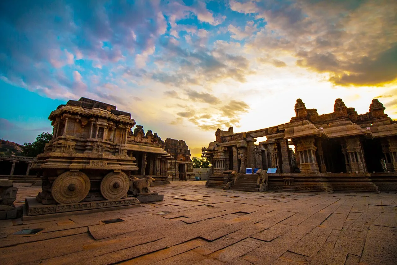
Hampi
A temple and urban landscape associated with the Vijayanagara capital on the Tungabhadra.
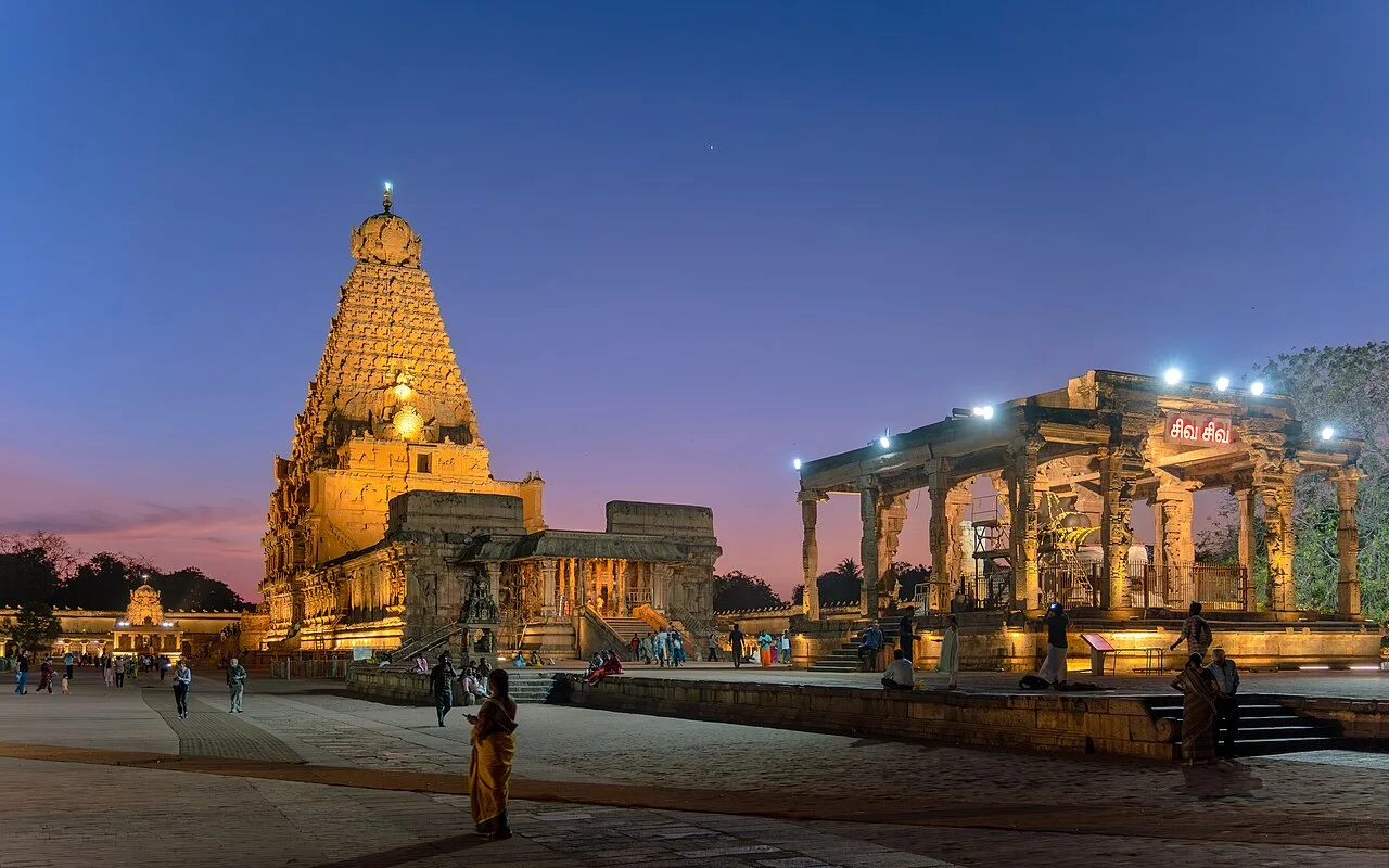
Bṛhadīśvara Temple
The Thanjavur temple is a component of the Great Living Chola Temples World Heritage property.
Reading a temple as a living archive
A framework for observing a place while keeping evidence, memory and interpretation distinct.