
Before we draw a map
A sacred atlas begins with choices about evidence, scale and what a marker can represent.
Original editorial study-method essay. Linked references identify examples or resources, not a claim of fieldwork or specialist peer review.
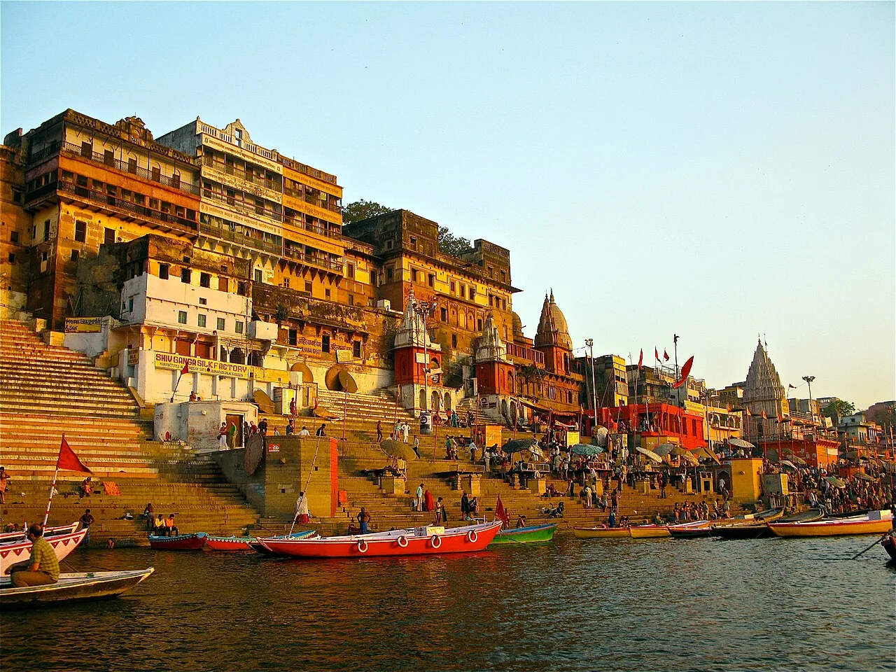
A map begins by selecting
An atlas does not begin with every place that matters. It begins with a decision about what can be documented carefully. Shakti Garbha’s opening selection uses a small collection of source-linked sites so that each marker can lead to a record with an inspectable basis. The selection makes no claim to completeness, a spiritual ranking or a definitive pilgrimage circuit.
The absence of a place should be read as a boundary of the current collection. It is not a judgment on that place’s importance.
A point is not a whole landscape
The Hampi World Heritage record supplies a property reference point. Khajuraho’s geographical table distinguishes multiple components, including the protected western temple area. These examples show why a marker must say what it represents. A coordinate that suits an atlas overview may be unsuitable as an entrance or meeting point.
For the current collection, the coordinate note preserves the source and the component. The visual marker is an aid to exploration, not turn-by-turn guidance or an assertion about the full boundaries of a sacred place.
Give categories a source
A site can have several dedications, periods of patronage and forms of religious significance. A convenient filter should not erase those differences. Likewise, traditional lists of sacred places can vary; placing a marker inside a named circuit requires a reference, not a guess based on geography or semantic similarity.
The initial atlas prioritizes documented heritage and temple records. Other categories remain open for careful curation rather than being populated with uncertain identifications.
Keep the map revisable
A future correction should be able to identify what changed: a name, a reference point, a classification or an interpretation. Preserve the earlier source and explain the new one. Practical visitor information also needs a date, since opening arrangements and access conditions can change independently of a historical summary.
An honest atlas keeps these limits visible while remaining useful. It invites the visitor from a point to a record, from that record to its sources and from those sources to a more precise question about the place.
Instagram excerpts and contributor media will be linked here after permission and review.
Sources & further reading
- 01UNESCO geographical data · Hampiinstitutional reference
UNESCO World Heritage property reference point N15 18 51.984 E76 28 18.012, converted to longitude/latitude decimal degrees; a landscape marker, not a temple entrance.
Consulted 2026-11-07 - 02UNESCO geographical data · Khajurahoinstitutional reference
UNESCO component 240-001, Protected Temple Area, Western Group: N24 51 9.00 E79 55 15.00; marker represents the western group.
Consulted 2026-11-07
Continue the inquiry
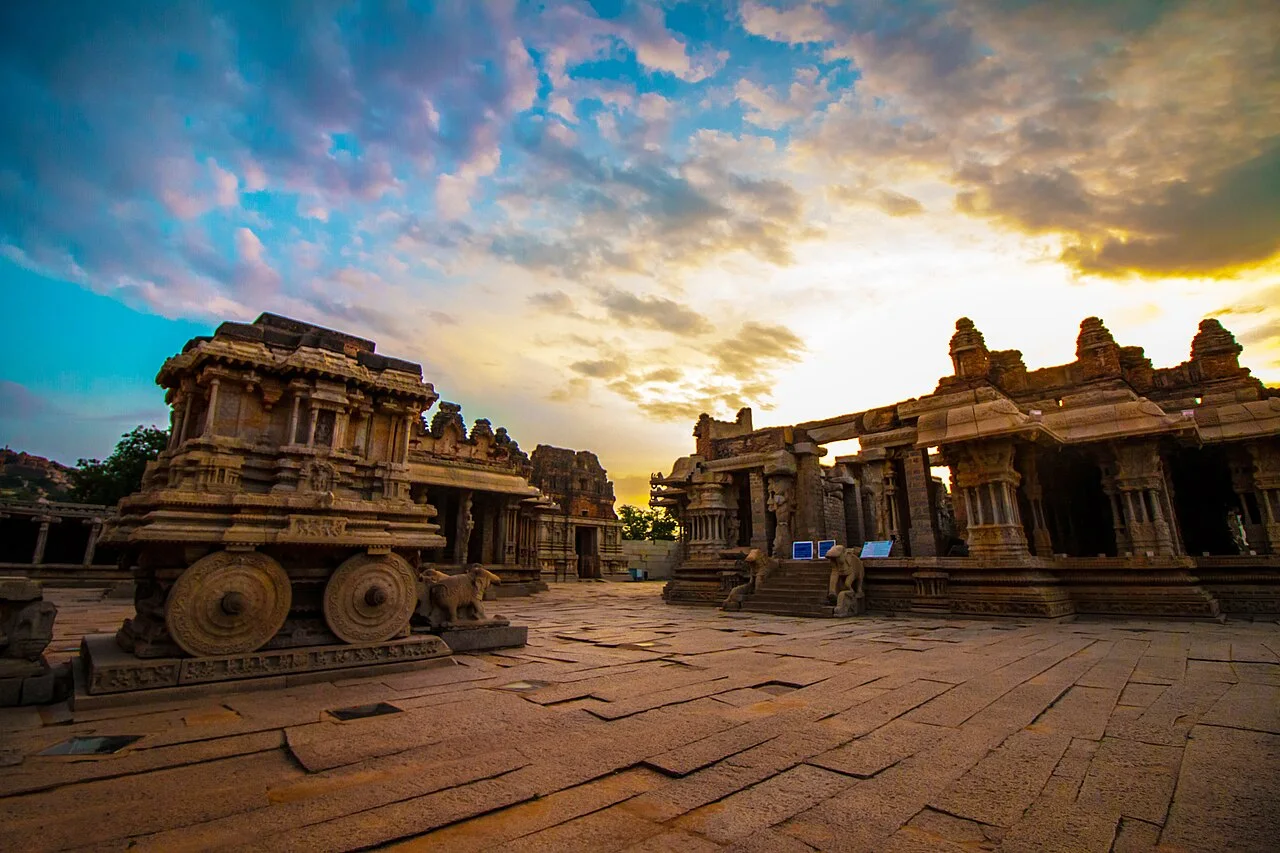
Hampi
A temple and urban landscape associated with the Vijayanagara capital on the Tungabhadra.
Khajuraho
A Chandella-period temple landscape containing Hindu and Jain monuments.
Reading a temple as a living archive
A framework for observing a place while keeping evidence, memory and interpretation distinct.